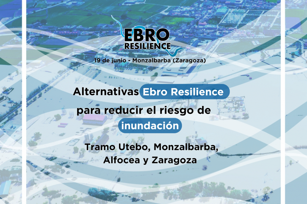
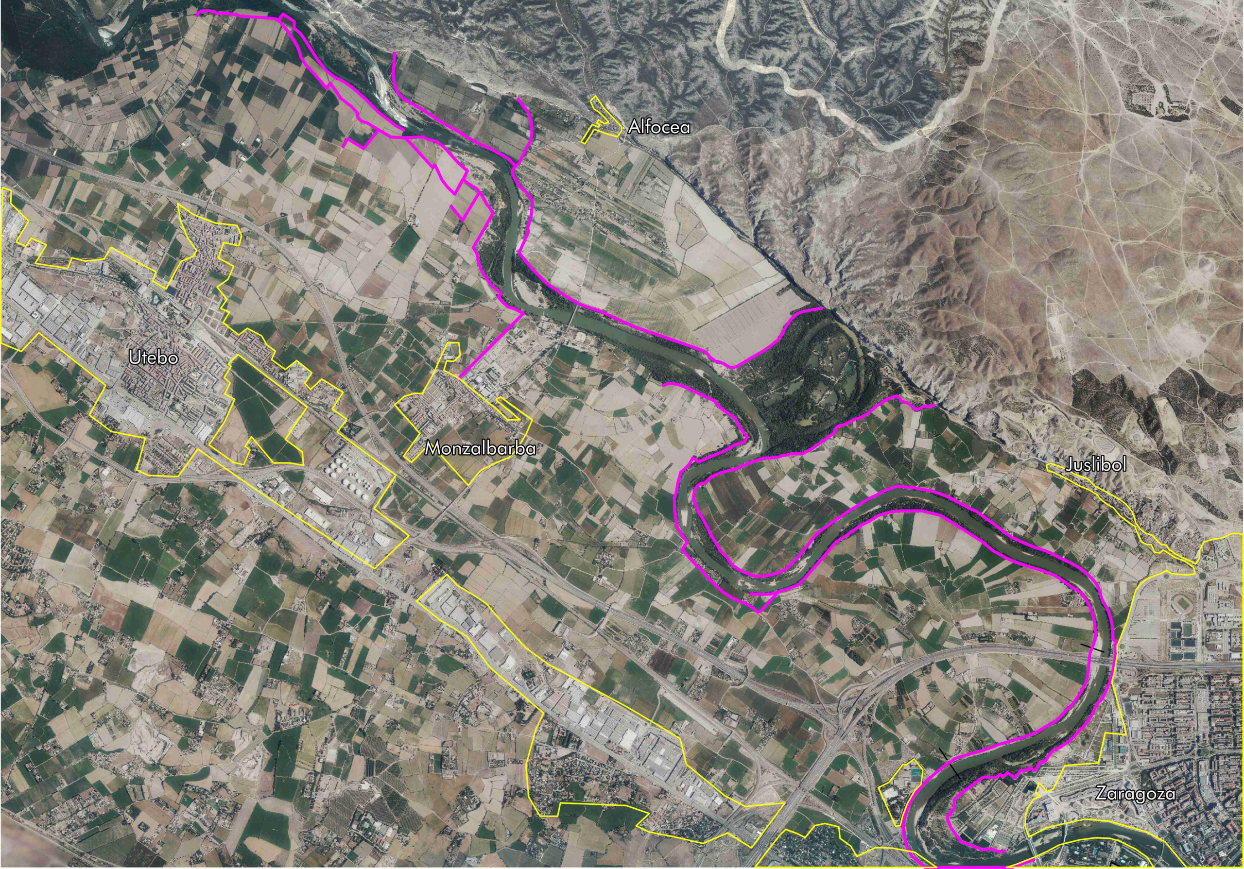
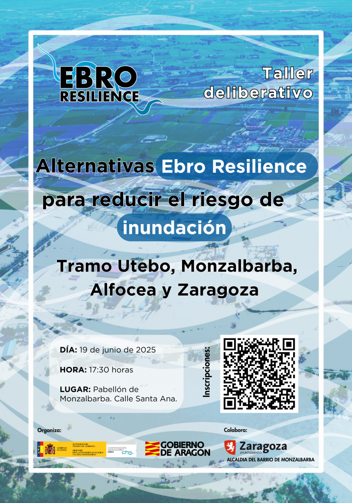
The Ebro Resilience Strategy will hold next Thursday, June 19, a public workshop to present the alternative to reduce the risk of flooding in Section 10 of the Ebro, which covers the course of the river as it passes through the municipality of Utebo and the surroundings of Monzalbarba and Alfocea to the city of Zaragoza. Organized by the Hydrographic Confederation of the Ebro, Government of Aragon and with the collaboration of the City Council of Zaragoza, through the Mayor’s Office of Monzalbarba, it will be held in the Pavilion of Monzalbarba, in Santa Ana Street.
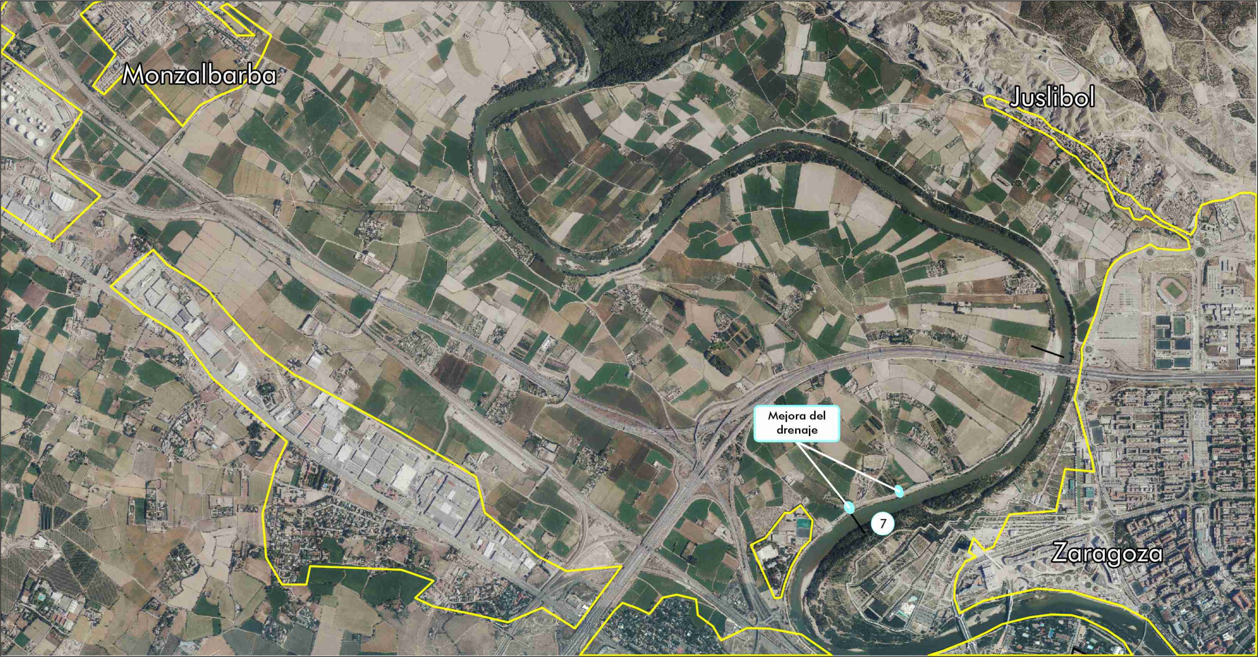
The proposal involves a combination of actions along the entire section that has proven to be the most efficient in preventing flooding of the urban centers of Utebo, Monzalbarba and Alfocea for floods with a return period of 25 years. It also reduces the height of the water in 370 hectares of agricultural land for a 10-year return period flood and improves drainage and water evacuation in the meander of La Almozara.
To attend the workshop, which will begin at 5:30 p.m., prior registration is required and is expected, above all, the participation of riparian public of the section: https://forms.gle/2fKos7Q6r1okckqx6.
Previous meetings and next steps
The Strategy’s technical team has previously held informative and analysis meetings with the City Councils of Utebo and Zaragoza and the neighborhood councils of Alfocea and Monzalbarba.
The study has a preliminary draft level and this participatory meeting seeks to know the opinion of the population and to collect the contributions and considerations. Afterwards, the environmental processing will be carried out and the construction projects will be drawn up so that each Administration can implement the corresponding actions.
Ebro Resilience is a coordination mechanism between Administrations to promote actions to reduce the impact of floods in the middle stretch of the Ebro River, between Logroño (La Rioja) and La Zaida (Zaragoza). Dissemination of the measures, public participation and joint analysis of proposals based on an in-depth technical study is one of its keys.
Problems and proposals
In the so-called section 10 of the Ebro Resilience Strategy, the construction of defensive walls, which were intended to increase the available arable land, generated areas with transversal obstacles to the passage of water and also areas with significant narrowing.
These defenses overflow at flows above 1,800 m³/s and tend to collapse, concentrating the flow in the breach zones and increasing the damage, causing flash floods and erosion in the land behind the levees. In addition, digital terrain analysis confirms that the defenses cause channel incision in narrow areas with obstacles.
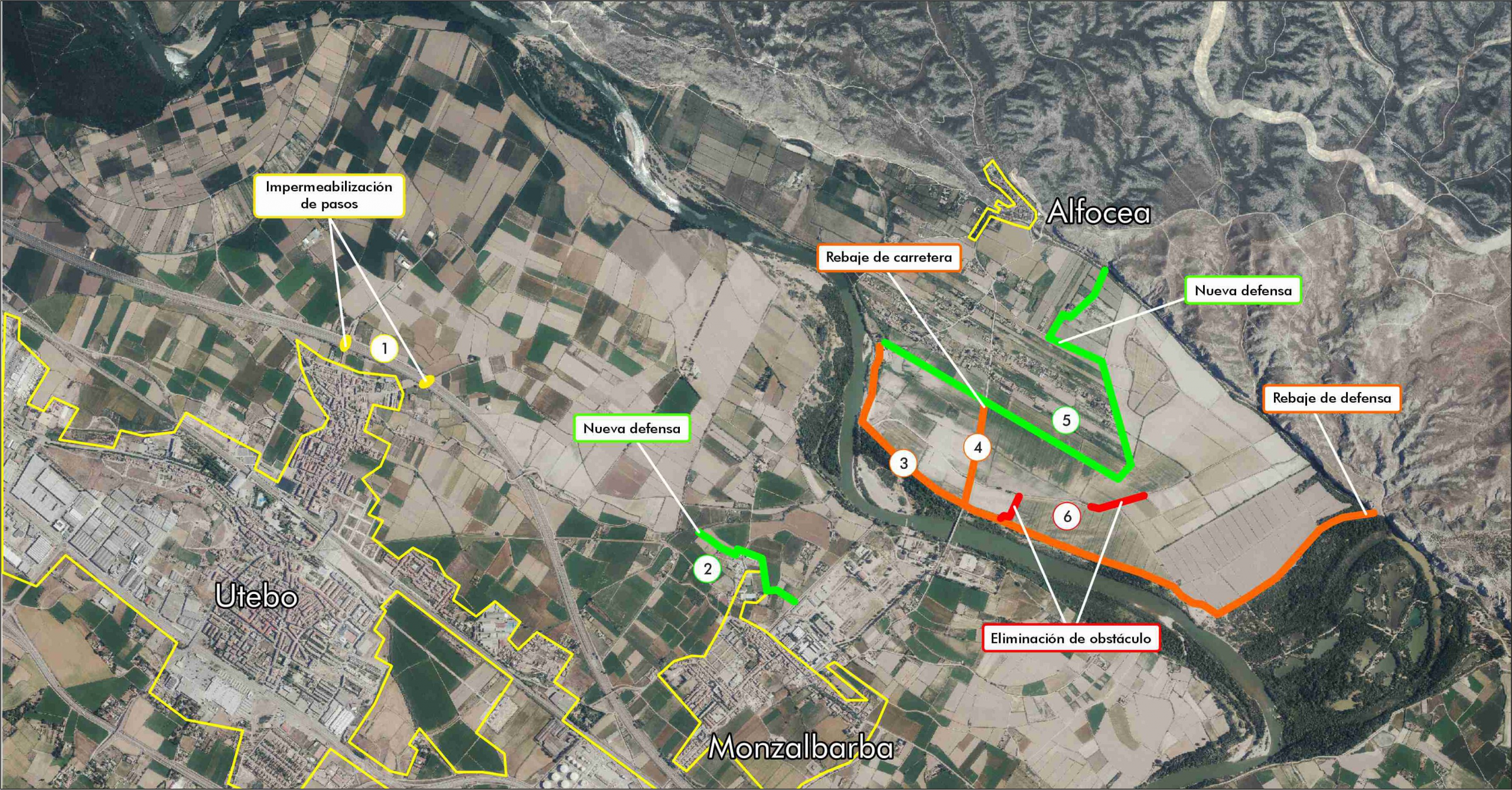
The proposal consists of a combination of actions that maintain the protection for the orchard and increase the capacity of the flood plain, lowering the height of the waters in the inhabited areas of Alfocea . A lowering of the height of the defense is proposed, lowering the road to the height of the land, and the construction of a new recessed defense that would strictly protect the existing buildings.
The proposed solution consists of installing two drainage areas in the current defense that will allow the accumulated water to drain automatically.
Ebro Resilience
The approach of the Ebro Resilience strategy for all sections is the protection of urban areas for floods with a return period of 25 years and for non-urban areas, to achieve the reduction of flood impacts up to a return period of 10 years.
The keys to Ebro Resilience are coordination and new approaches to reduce the negative impact of flooding episodes, relying on combined measures to improve the resilience of the territory.
Ebro Resilience, in addition to coordination, is based on the promotion of measures that have the technical backing of the studies and are the result of the greatest consensus, encouraging the involvement of local administrations, those affected and society in general in each area. Along with this workshop, specific meetings are held with the mayors of the sections under study.