A new audiovisual document of the LIFE Ebro Resilience P1 Project aims to explain in depth the process of carrying out bathymetries to obtain a mapping of the Ebro bed in its middle section.
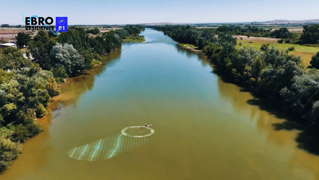
The Ebro Resilience Strategy is developing a bathymetry campaign that will provide objective data on the submerged relief under the waters along some 260 km of river between Logroño and La Zaida (Zaragoza), deepening scientific knowledge of the rivers and providing a rigorous tool for decision making to reduce flood risk.
This campaign will make it possible to compare the current results with the data obtained between 2019 and 2021, in the first bathymetry carried out for the entire middle stretch of the Ebro through Ebro Resilience. Until this first campaign, only specific or short bathymetries had been carried out in the Ebro for the design of infrastructures such as bridges or dams, so there was no specific and verifiable data on the behavior of the river and sediment mobility after flood episodes.
The conclusions drawn from these initial data were crucial for the design of the detailed studies with the combined solutions in each of the 18 sections into which the middle Ebro has been subdivided.
In the time between the two field works there have been two episodes of extraordinary floods (December 2021, February 2024), so that the comparison can provide an objective view of the result of the dynamics of the river, its tendency to sedimentation or erosion.
The bathymetries of the Ebro generate confidence in the definition of solutions for each area, they are a qualitative leap in the knowledge of the river. Thanks to them, objective information is obtained and repeated over time, which provides transparency and scientific rigor, improves hydraulic simulations and allows progress towards a sustainable management of the riverbed and the reduction of risks for the populations.
How it is done
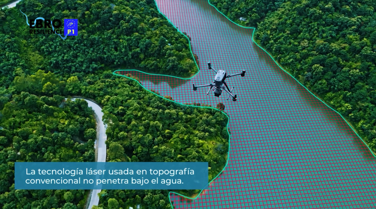
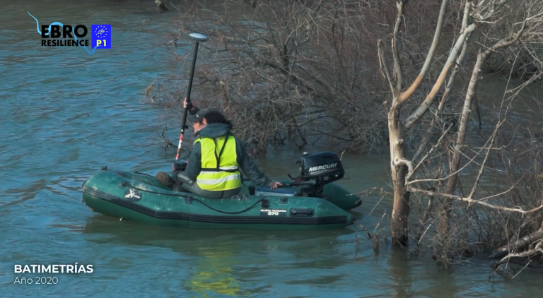
LIDAR surveying, using lasers, does not work underwater, so sonar (echo sounder) is used for this work. The sonar emits sound pulses that bounce off the bottom and allow the depth to be calculated.
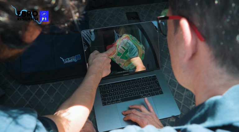
Data from the bathymetric sounder and a centimeter-accurate GPS are combined and processed in a program that generates 3D models of the bottom.
LIFE Project
The LIFE Ebro Resilience P1 Project (LIFE20 ENV/ES/00327), approved by the European Commission in the LIFE 2020 call, covers three autonomous communities (La Rioja, Navarra and Aragón), has a duration of 6 years and a total budget of 13,310,350 €, with 55% European funding.