

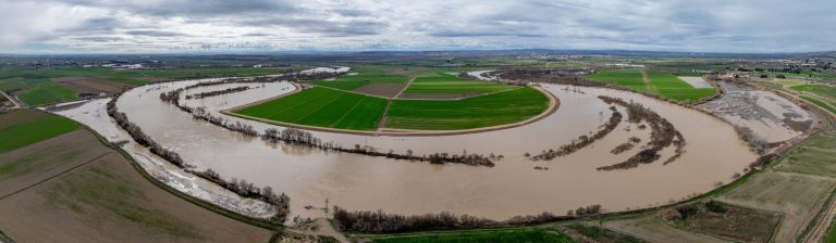
Once a river restoration project is completed, an important phase begins: verifying that the measures are in line with the initial plan and are generating real benefits for the region.
In the LIFE Ebro Resilience P1 project, environmental monitoring is conducted every six months in the areas where restoration measures have been implemented within the project’s two main areas of focus.
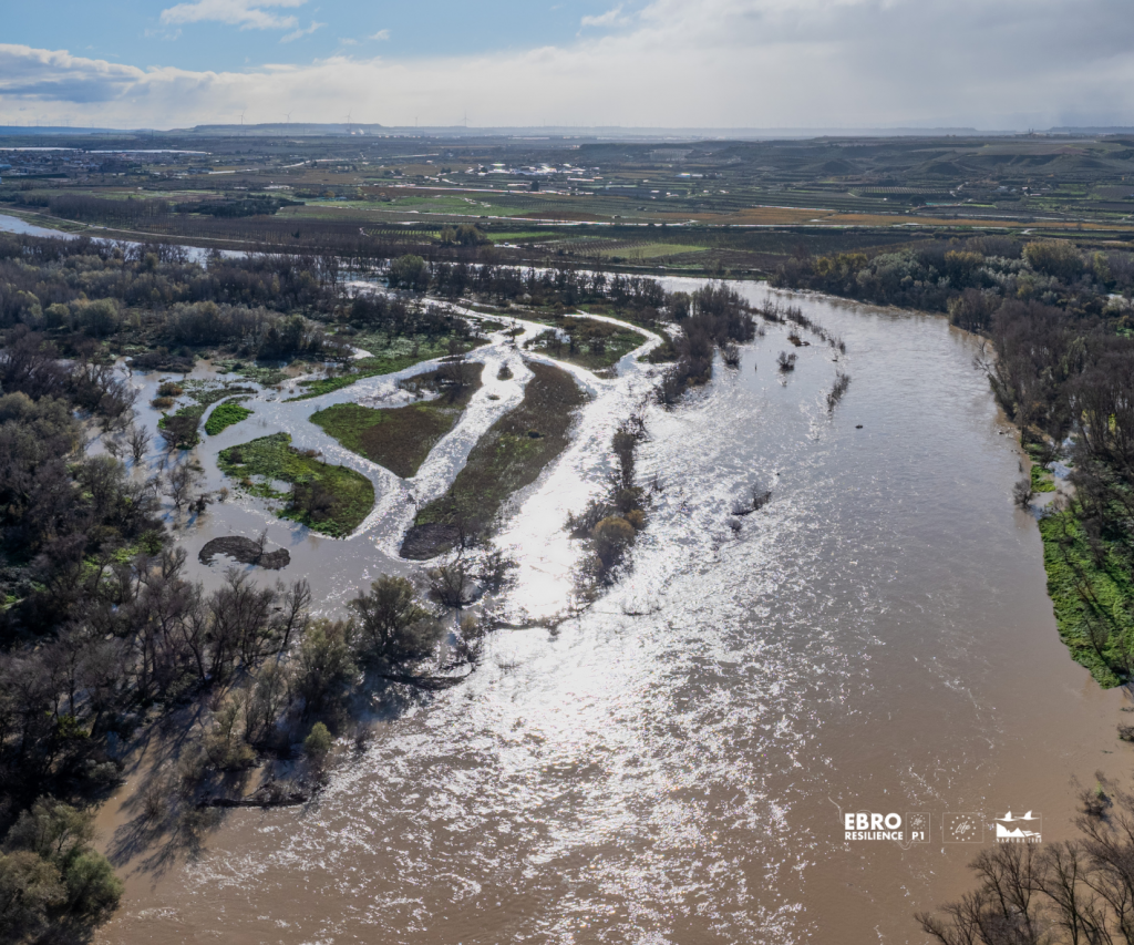
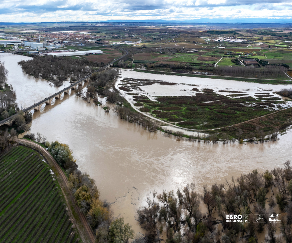
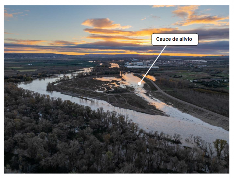
On the one hand, the section between Alfaro (La Rioja) and Castejón (Navarre), where work has been carried out on the meanders at Soto de Alfaro and La Roza, as well as part of the planned work at El Señorío.
On the other hand, the section between Osera de Ebro and Fuentes de Ebro (Zaragoza), where the work extends from La Mejana del Conde to Soto Aguilar.
In both cases, the goal is the same: to monitor how the river evolves once the interventions are complete. In this text, we explain:
Indicators for Monitoring Progress
When we launch initiatives such as those included in the LIFE Ebro Resilience P1 project, a crucial part of the process is to ask ourselves how they will function once they are completed:
Answering these questions requires ongoing technical monitoring. To evaluate the results, the project uses 12 environmental indicators defined within Action C1 of the LIFE Ebro Resilience P1 Project, which focuses on monitoring environmental conditions.
These indicators make it possible to analyze various aspects of the restaurant industry:
Each of them has quantifiable objectives (in hectares, meters, or number of actions) that allow us to use this data to compare the initial situation with the project’s progress.
What do we do during the follow-up?
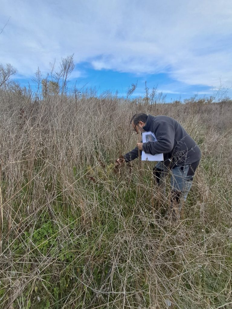
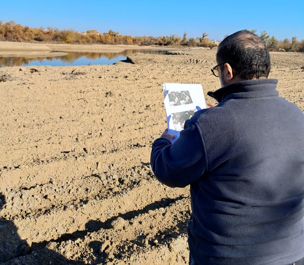
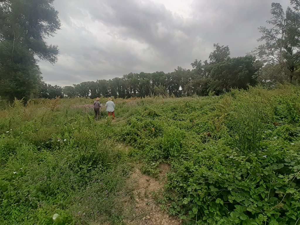
The monitoring process combines fieldwork and desk research.
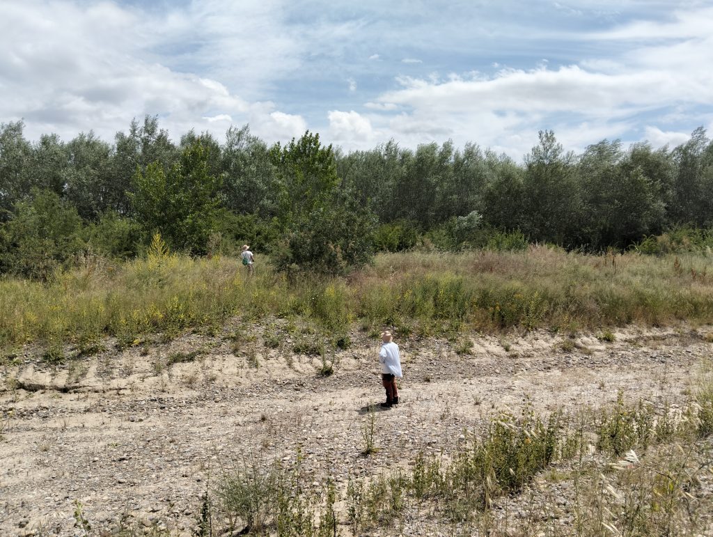
During the visits, the following aspects, among others, are reviewed:
All of this information is documented using photographs, GPS coordinates, measurements, and georeferenced data.
Using geographic information system (GIS) tools, all the collected data is analyzed, maps are created, environmental indicators are calculated, and the results are compared with the situation prior to the start of the project.
The goal is to have an objective, data-driven assessment of the progress of each initiative.
Why is the follow-up conducted every six months?
River ecosystems change slowly. Therefore, a semiannual frequency allows us to detect actual changes without generating redundant information.
In addition, the monitoring campaigns coincide with different stages of the annual vegetation cycle and make it possible to assess how the measures have performed following potential flash flood events.
This system facilitates adaptive project management: if any action requires adjustments, they can be identified well in advance so that corrective measures can be taken.
When can we say that a restoration is successful?
The best sign of success is when the river itself once again becomes part of the process.
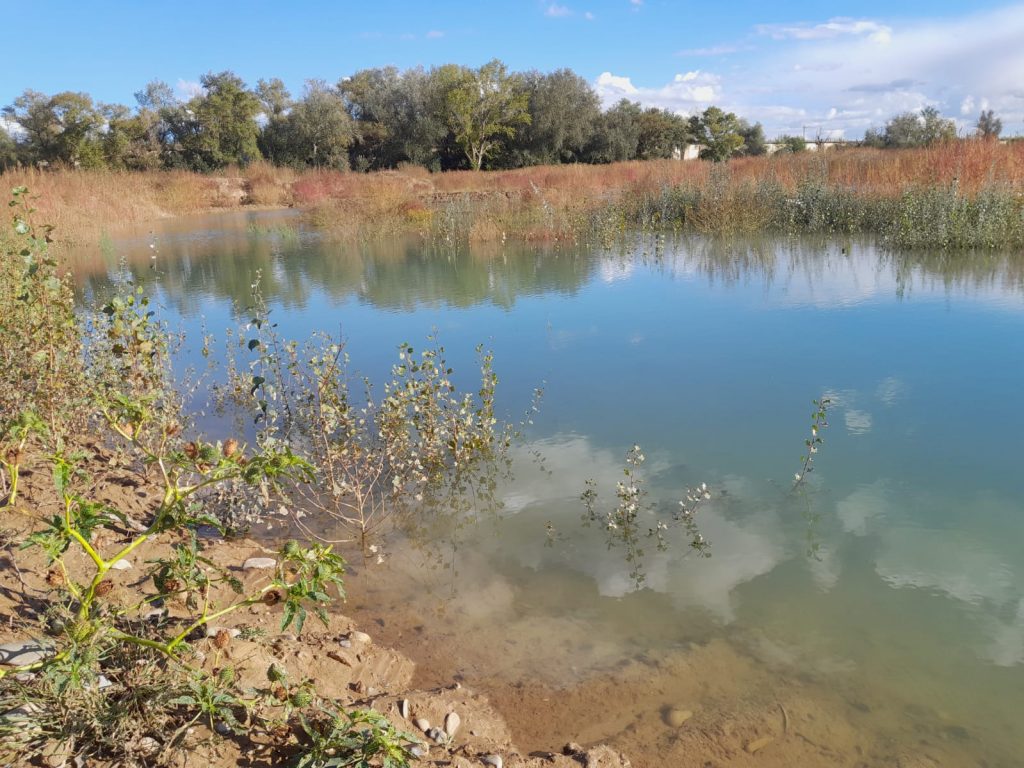
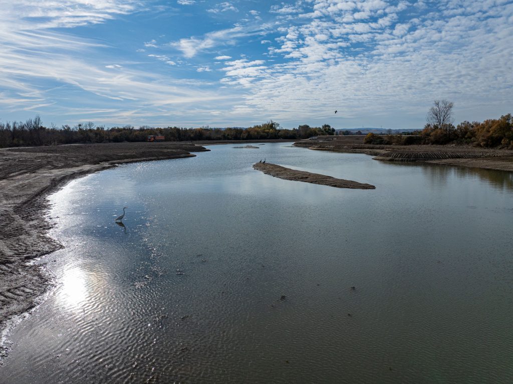
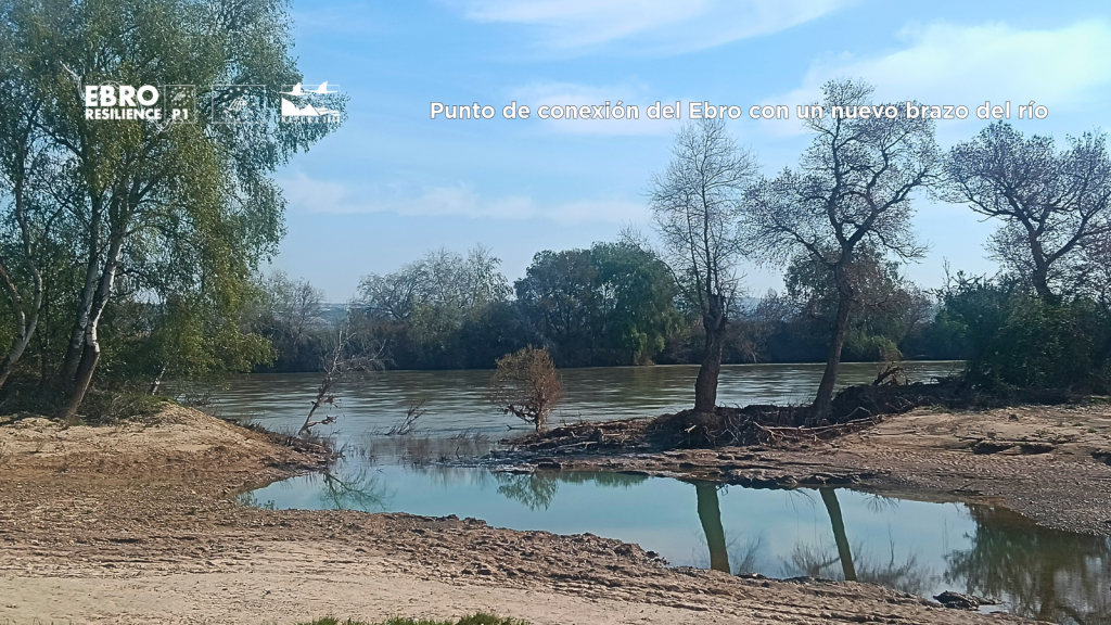
When water returns to its former channels, new patterns of erosion and sedimentation emerge, river connectivity improves, and habitats evolve favorably—which means that natural processes are getting back on track.
Ultimately, the success of a restoration is not measured solely by the work that has been done, but by the ecosystem’s ability to evolve on its own over time.
A monitoring effort that is already yielding results
Monitoring data show that several of the project’s indicators have already met—and even exceeded—the initially set targets.
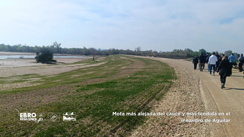
Notable among these are the restoration of riverine areas, the construction of new, set-back flood defenses, and the restoration of secondary river branches.
These results confirm that environmental assessment is not merely an administrative formality, but rather an essential tool for verifying, through objective data, that the measures implemented contribute to restoring the river’s natural function and improving its ability to cope with flooding.
LIFE Ebro Resilience P1 Project
The LIFE Ebro Resilience P1 Project, which receives financial support from the European Commission’s LIFE Program, is an innovative initiative to address the issue of flooding in the middle reaches of the Ebro River, with a clear objective: to ensure that the population and economic activities coexist with an Ebro River in a good state of conservation, while reducing the damage associated with floods that are part of the river’s natural dynamics.
The project is led by the Ministry for Ecological Transition and the Demographic Challenge (MITECO), through the Ebro River Basin Authority (CHE), in collaboration with the public companies TRAGSA and TRAGSATEC, the Government of La Rioja, the Government of Navarre—through Orekan-Gestión Ambiental de Navarra—the Government of Aragon, and the Aragonese Water Institute.